


Tuesday, April 5th, 2005, 4:54 am
Satellite Maps
 Filed under:
  he Google Blog has just announced inclusion of satellite images in Google Maps (see “
satellite” at the top-right corner). Americans can now identify their house and scroll around their neighbourhood to view everything from high above. The tool has an amazingly responsive interface.
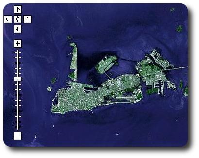
I decided to look at Key West; I could zoom in much further
