Satellite Maps Hit the World
 Filed under:
 igh-resolution satellite pictures of the States have been available for quite a few months. These have now been extended, by Google Maps, to including other major cities, London and Manchetser included. I took screenshots of places that are familiar to me and marked up my home among other key locations. It now seems obvious how close I live to most places, with the longest walk — to the health club — which takes only 15 minutes.
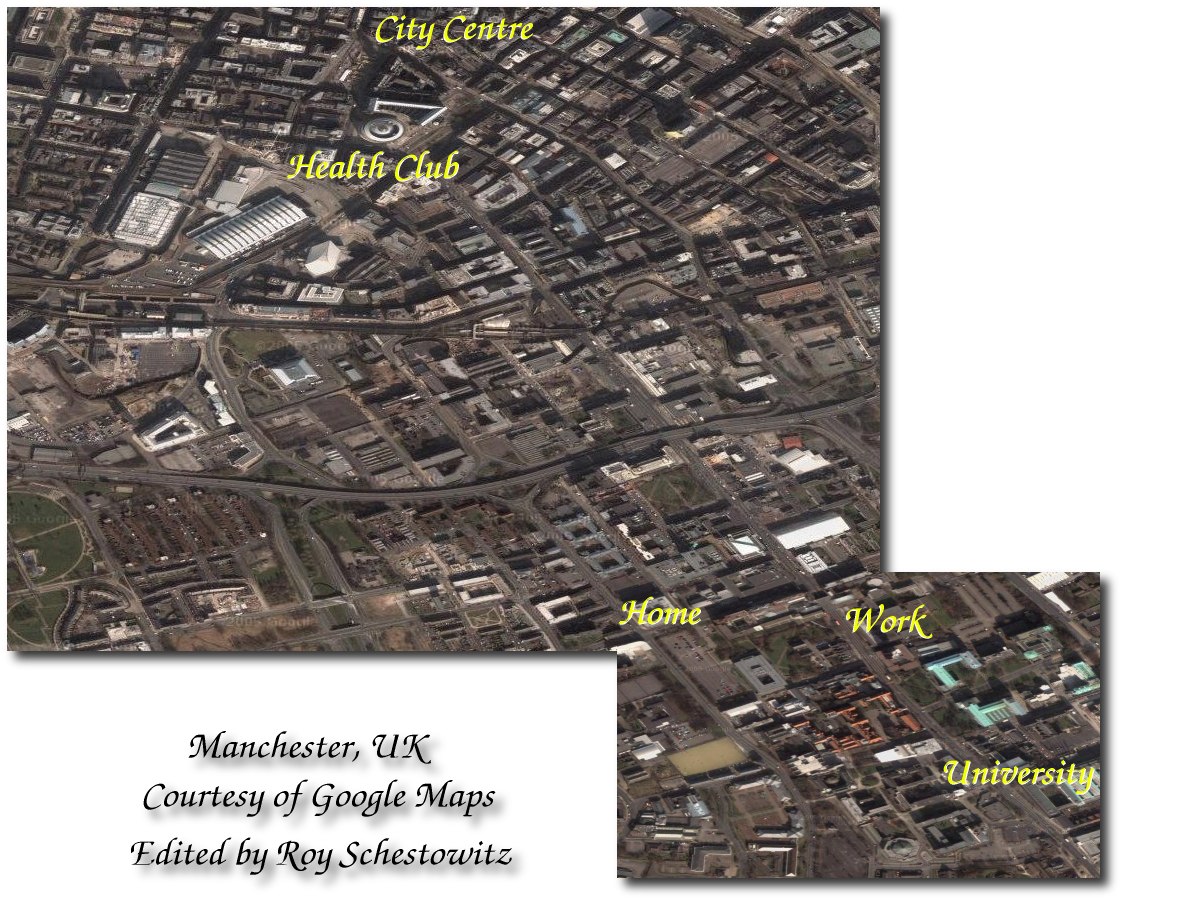
Click map to enlarge


 ry comparing news feeds from CNN against those from the BBC. I am subscribed to various feeds from both and in CNN no descriptions are bound to the titles. Why even syndicate if the subscriber gets 2-word provocative titles? The BBC is different, possibly because it has no commercial interests. It also opened its news API to the public recently, which was inarguably a wise step.